Press Release
All tests in space successfully mastered: Earth observation satellite EnMAP impresses with top-quality data sets
Routine operational phase of the first German hyperspectral satellite has started - OHB's high level of expertise in the development of complex optical instruments is proven
Oberpfaffenhofen / Bremen, November 2, 2022. The hyperspectral instrument has been tested and calibrated ¬- the Earth observation satellite EnMAP of the German Space Agency at the German Aerospace Center (DLR) have been fully commissioned: The EnMAP hyperspectral satellite developed and built by OHB System AG, a subsidiary of space technology group OHB SE, is entering its routine operational phase following intensive testing in space. From the beginning of November, DLR will enable scientists from all over the world to submit their proposals for scientific observations in the EnMAP Instrument Planning Portal (IPP). "We are very pleased that we are meeting the high expectations of the scientific community, that the instrument is delivering such outstanding results and that our 'baby' is now actually entering regular service," says Hans-Peter Honold, EnMAP project manager at OHB, at the conclusion of the so-called "Flight Qualification Review".
Images in previously unavailable spectral resolution
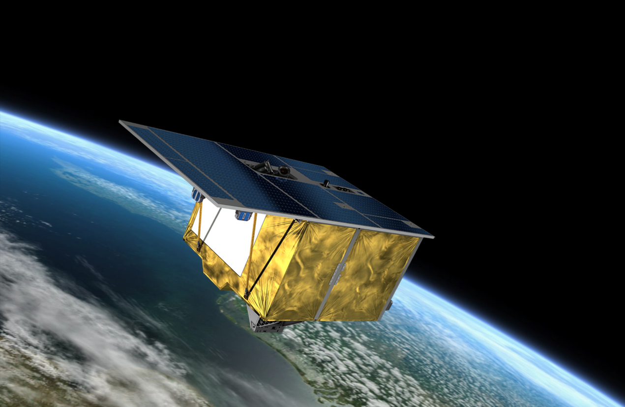
EnMAP is the first hyperspectral satellite developed and built in Germany. The highly complex instrument of the Earth observation satellite was developed and built at OHB's "Optics and Science" space centre in Oberpfaffenhofen. EnMAP’s “eyes” will actually see more than we can perceive with our eyes as the satellite carries a hyperspectral instrument that has two imaging spectrometers with a total of 242 recording bands in a wavelength range from 420 to 2,450 nanometers. The spectral resolution is 6.5 nanometers in the visible and near-infrared range and 10 nanometers in the short-wave infrared range. This will allow the satellite to record the solar radiation reflected off the earth’s surface in continuous spectra ranging from visible light to the short-wave infrared segment. This data makes visible what is invisible to us humans and shows, for example, which minerals are in an environment, whether plants are sufficiently supplied with nutrients or soils are too dry, as well as revealing if water bodies are contaminated with pollutants.
New Era in Earth Observation
"With the hyperspectral data of the environmental satellite, the condition and changes of our planet are recorded over a long period of time. With the help of EnMAP, we will certainly understand the effects of ongoing global warming on land and water even better. The first images during the test phase have already shown what the satellite is capable of. Now we, too, are eager to see which regions of our planet scientists will be studying in greater detail with EnMAP," says Dr. Rüdiger Schönfeld, the programme director for earth observation at OHB. With all that his teams in Oberpfaffenhofen and Bremen had developed, they had often reached the limits of what was technically feasible, he says. "In all these years, however, we have learned above all what is important in the development of such complex instruments and demanding missions, so that we can now also apply this broad knowledge and the skills we have acquired with it at European level, such as in the development of the payload for the CHIME hyperspectral mission, for which we have been commissioned by ESA," says Schönfeld.
All the images that EnMAP has already sent from space, including a shot of its hometown Oberpfaffenhofen in rich green tones, can be discovered on the mission page in the image gallery. The the EnMAP Instrument Planning Portal (IPP) will also be accessible there from 2 November.
EnMAP – the German environmental mission and its partners
The EnMAP environmental mission is being lead-managed by the German Space Agency at the German Aerospace Center (DLR) in Bonn on behalf of the German Federal Ministry for Economic Affairs and Climate Action (BMWK). OHB-System AG was awarded the contract for developing and engineering the satellite and the hyperspectral instrument. The mission is under the scientific direction of GeoForschungszentrum Potsdam (GFZ).
Three DLR institutes and facilities have been tasked with constructing and operating the ground segment: The German Space Operations Center in Oberpfaffenhofen carries out and monitors the satellite operations. The German Remote Sensing Data Center and the DLR Remote Sensing Technology Institute receive the satellite data, archive, process and validate them to make the data available to the scientific community. Companies and public authorities will also test the data and use it to prepare future services. The future use of EnMAP hyperspectral data by universities and scientific institutions and the development of special applications are supported by funding programs initiated by the Federal Ministry of Economics and Climate Action (BMWK).
Contact for media representatives:
Marianne Radel
Head of Corporate Communications
Phone: +49 421 2020 9159
Email: marianne.radel@ohb.de
Contact for investors and analysts:
Marcel Dietz
Investor Relations
Phone: +49 421 2020 6426
Email: ir@ohb.de