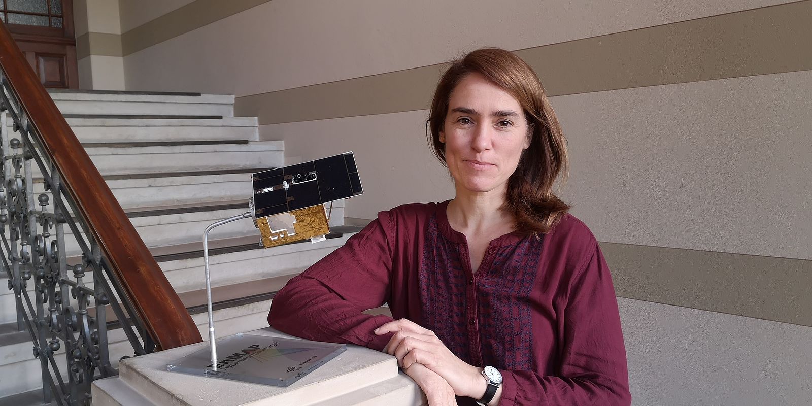
A satellite must be developed, built and operated. However, an experienced scientific partner is required to interpret the data in a meaningful way. For this purpose, the German Space Agency at the German Aerospace Center (DLR) has brought on board the German Geoscience Center Potsdam (GFZ), which has been responsible from the outset for the scientific management of the EnMAP mission. Saskia Förster is a geoecologist at GFZ and explains in an interview why the true value of the data material is only revealed through comprehensive and targeted interpretation.
To what extent is GFZ involved in the EnMAP mission?
Saskia Förster: GFZ has been DLR’s scientific partner since the beginning of the mission. One task was to simulate the expected data. The simulator was developed at GFZ and helped OHB to define the EnMAP instrument. In addition, we have developed a number of algorithms for preprocessing the data and evaluating it for specific applications. Many of the algorithms are now part of what is known as the EnMAP box, which was also developed in the EnMAP scientific program. This package is subject to the open data policy and is therefore freely available to all users.
When can we expect to receive the first data?
It will take a few weeks for us to collect data. After that, we will be ready to send our validation teams into the field – one of GFZ’s tasks is to independently validate the data in addition to the ground segment at DLR. This makes us the quality controllers.
How will future users be helped in interpreting the data?
We offer future users training in hyperspectral remote sensing. As a rule, this will take the form of online training. A basic course has been online since November. If you would like to find out more about the training courses, you can do so on the enmap.org website. Further courses for applications
relating to water, agriculture, soils etc. are being prepared. Looking forward, we would also like to train staff at public authorities, for example in the environmental departments. This can be useful when, for example, it is necessary to measure the water quality in a certain region. Until now, people
have often been sent out to take samples. That’s all very well, but it’s no more than point-by-point detection. The advantage of remote sensing is the ability to record environmental parameters over a large area.
So EnMAP will help to improve environmental protection?
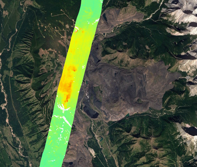
Yes, definitely. And in this respect, we are combining a public and commercial benefit because more and more companies are specializing in special applications such as the rehabilitation of mining areas or the removal of pollutants from the environment. A further great advantage of hyperspectral remote sensing is the ability to distinguish between different materials. Overall, however, we will definitely be able to come up with many more use cases. It won’t become evident until in the course of the mission what benefits we can derive from the data. One thing is clear: we have some very busy months ahead of us.