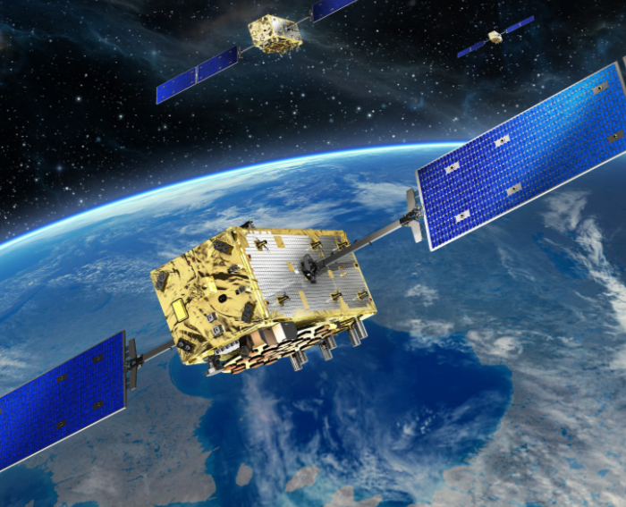
Europe has had its own satellite navigation system since 2016. Its name is Galileo. Today, 22 satellites are already orbiting the earth, with this number to increase to a total of 34 by 2020. The satellites emit signals that can be picked up by smartphones or navigation devices, for example, as well as search and rescue services on the water and in the air.
OHB is the principal contractor for the development and construction of the satellites in Bremen. Dr. Manuel Czech, the head of the Galileo project, explains what the satellite navigation system is capable of and what benefits it offers for humankind.
Dr. Czech, what is the Galileo satellite navigation system capable of?
Galileo already offers very precise positioning data down to a few meters. In the final stage, this will be improved to one or two meters.
This degree of precision is fully sufficient for applications such as autonomous driving particularly if the vehicle utilizes additional data from distance sensors, for example. Ground-based reference systems provide a further substantial increase in accuracy for high-precision applications such as agriculture or geography. In shipping, the precision of satellite navigation makes a crucial contribution to safety.
We are close to reaching the final state of the Galileo project. Currently, five to seven Galileo satellites are located above any given part of the sky, thus providing highly precise positioning data.

To protect your personal data, your connection to the video streaming provider has been blocked. Click to unblock the video streaming provider. By loading the video you accept the video streaming provider’s privacy policy. More information about the video streaming provider’s privacy policy can be found here: Google - Privacy & Terms
Aside from assistance for autonomous driving, what else can Galileo do?
Five main services were defined at the beginning of the Galileo project. These services have given rise to a market which has produced numerous more advanced applications which had initially not been anticipated. There are many companies out there with highly innovative ideas.
What applications are specifically possible with Galileo?
These services will make a lot of things possible, such as aircraft landings with extremely large precision and safety without any need for a sophisticated ground infrastructure.
The high-precision atomic clocks will make bank transactions in high-frequency trade, for example, much more secure as there will be a common time reference. Today, it sometimes happens that a transaction has different time stamps depending on which clock is used as the basis. If they are all on “Galileo time”, everything will be synchronized.
Many people are already benefiting from search-and-rescue services.
For example, if a ship is in distress, the crew can make an emergency call via a satellite transmitter, which also transmits the position of the ship. The Galileo satellite receives the signal and forwards it to the emergency call center on the earth, which can then react immediately.
How did this all work before Galileo?
COSPAS-SARSAT, the satellite-based search and rescue system, has hitherto been used on a number of low-flying satellites. This meant that a satellite had to be in the vicinity before an emergency signal could be sent out. This resulted in timing and positioning problems: Often, emergency services were only notified of an emergency after a delay of one hour and did not have any precise coordinates for it.
What aspects of rescue missions will change as a result of Galileo?
Galileo satellites are already visible from all points of the earth. This means that, when you make a SAR emergency call, it arrives immediately and simultaneously transmits the navigation coordinates. In this way, rescue services can send out search teams in just a few minutes with precise navigation coordinates almost down to the last meter.
Why is there even a European satellite navigation system in the first place?
The American “Navstar GPS” global positioning system is also available for use in Europe. However, if it were to stop working for any reason or access were to be blocked, this would have dire consequences for the entire economy and infrastructure in Europe and also elsewhere. Many people do not realize that GPS is a military project that has been released for civilian use.
The FOC (full operational capability) phase of the Galileo program is being funded by the European Union. The European Commission and the European Space Agency ESA have signed a contract under which ESA acts as the development and sourcing agency on behalf of the Commission.
What happens if satellite navigation systems fail?
Imagine the chaos on roads if all navigation systems were to fail. And just think of the global supply chains. If satellite navigation was no longer available, goods would simply stop being transported. We would have to revert to the old-fashioned methods, most of which are not even available any more and would therefore have to be re-installed. There would also be difficulties in banking business. The consequences would be incalculable because high frequency trading is currently the standard.
The preliminary ideas for Galileo arose at the end of 1990s. The decision of the European Commission to implement and finance the project led to various calls for tenders for satellites.
OHB is building a total of 34 satellites for Galileo. This number also includes reserve satellites so that the constellation can be safely operated over a protracted period of time.
The two system - GPS and Galileo - will complement each other. They will work with even greater precision once more satellites become available.
Is Galileo already available on standard smart phones?
Modern mobile telephones are already fitted with the necessary chips. All leading smartphone makers have models that are Galileo-capable.. It is safe to assume that over time Galileo functions will be fitted to the entire range. The list of Galileo-ready smartphones is growing all the time and the system will soon be available across the entire market.
Who is operating the Galileo satellites?
The European Commission is the owner of the system but has delegated responsibility for procuring the satellites to the European Space Agency ESA. GSA in Prague operates the system. It markets the project commercially as hardware producers need to be convinced to implement Galileo. A large ground infrastructure has also been established to operate the satellites.
What is done to prevent satellites from crashing into each other?
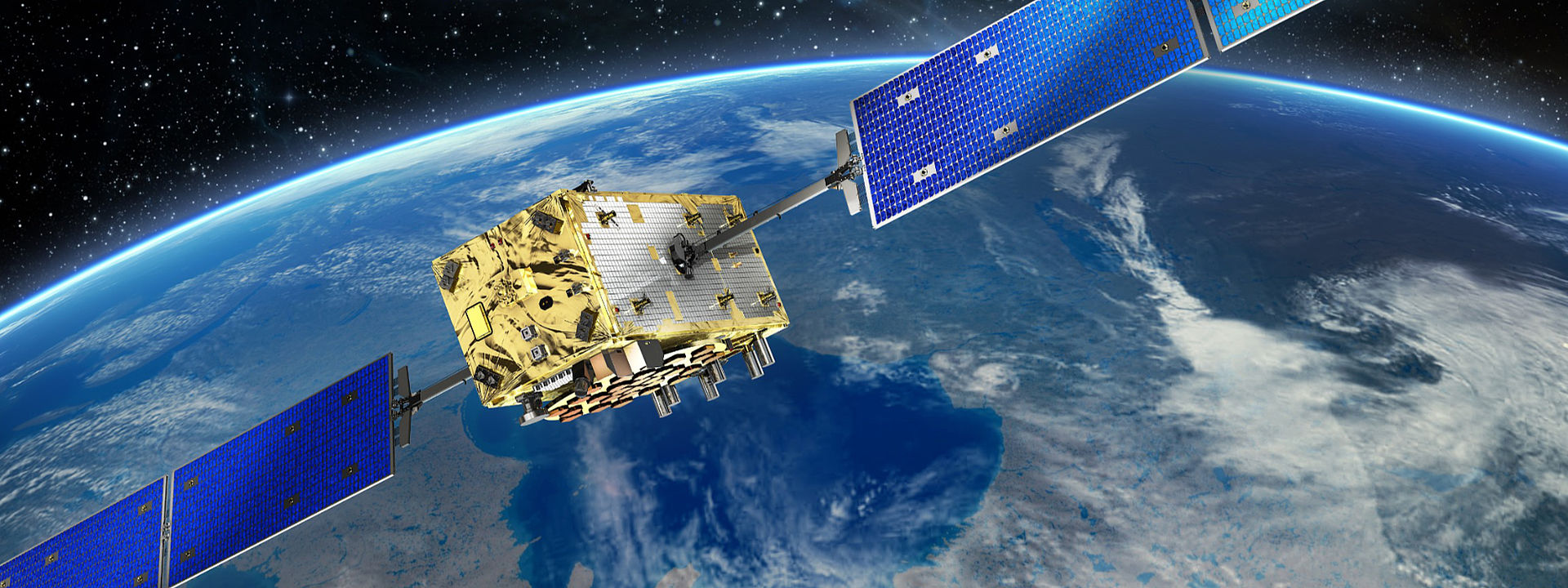
The Galileo satellites fly in a medium earth orbit (MEO) at an altitude of around 24,000 kilometers. As there is no atmosphere at this level, they are not exposed to any drag, meaning that they stay in their precise orbits permanently. In any case, this special orbit is only used for Galileo. This means that there are only a small number of navigation satellites at distances of several thousands of kilometers from each other. At the end of their service lives they are then placed in a “graveyard orbit”. This is a little higher than the operational orbit, meaning that they do not interfere with the active satellites.
Can the satellite identify the positions of its users?
No, not normally. A car navigation system or smartphone regularly picks up the signal emitted by the satellite, allowing it to determine its precise position. This same thing applies to truck or cargo tracking. The user utilizes the service to determine his position, which is then transmitted over the mobile network for example. However, satellite navigation is unidirectional, meaning that the navigation system does not send any signal back to the satellite.
The only exception to this is the SAR service for which Galileo utilizes a return channel. This is crucial for this application as the return signal is required to notify the rescue team so that the search-and-rescue operation can be commenced.